
Named stone
Boone chert
Also called Boone Formation chert, Boone Limestone chert
A kind of chert (and flint)
Boone chertChert (and flint)PlainsDescription
Boone chert comes from the Lower Mississippian Boone Formation, a cherty, fossil-rich limestone about 100 to 115 meters thick that forms the Springfield Plateau across northwestern Arkansas, southwestern Missouri and northeastern Oklahoma. Two kinds occur. Lower beds have dark nodular chert that formed early, before the limestone hardened, and makes up 40 to 50 percent of that interval. Upper beds have light or white chert that replaced hardened limestone later, and can make up 30 to 95 percent of the rock. Because the formation is large and varied, the amount and colour of chert change a lot from place to place. Missouri archaeologists call the fine-grained Reeds Spring chert of the upper White River valley high-quality toolstone.
How to identify it
- Colour
- Dark in the lower part of the Boone, light or white in the upper part (Arkansas Geological Survey; Cains and others 2016).
- Texture
- Lower chert shows compaction and shrinkage fractures; upper chert replicates the fabric of the limestone it replaced (Cains and others 2016).
- Heat treatment
- Calf Creek knappers heat-treated light-colored, medium-textured Ozark cherts, except where fine-grained raw chert such as Reeds Spring was easily available (Missouri Archaeological Society); this does not say Boone chert itself was treated.
Geology
Lower Mississippian (Osagean) Boone Formation: gray fine- to coarse-grained fossiliferous limestone with interbedded chert, topped in places by the Short Creek oolite and based by the mostly chert-free St. Joe Limestone Member. It records one third-order sea-level cycle. Geochemistry suggests a volcanic rather than biological source of the silica. The formation is known for caves and sinkholes.
Where it comes from
Plains, Ozarks
Quarries and outcrops
- Springfield Plateau, northwestern Arkansas, southwestern Missouri, northeastern Oklahoma
- Boone County, Arkansas (type area)
- Upper White River valley, southwest Missouri and northwest Arkansas (Reeds Spring chert, per Ray)
Used by
- Calf Creek knappers used Ozark cherts; the core area of Calf Creek points includes southwest Missouri and northwest Arkansas (Missouri Archaeological Society)
Look-alikes
Stones that are easy to confuse with Boone chert.
- Reeds Spring chert (fine-grained, high-quality, in the upper White River area)
- Burlington and Keokuk cherts (pale Osagean Mississippian cherts that are often heat-treated)
Sources
- Cains, J. M., A. Potra, and others. 2016. Lower Mississippian Chert Development, Southern Midcontinent Region. Journal of the Arkansas Academy of Science 70(1).scholarworks.uark.edu (opens in a new tab)
- Arkansas Geological Survey. Ozark Plateaus Region, Mississippian Period. Geology of Arkansas.geology.arkansas.gov (opens in a new tab)
- Ray, Jack H., and Neal H. Lopinot. To the Point: Calf Creek. Missouri Archaeological Society.missouriarchaeologicalsociety.org (opens in a new tab)
Points made from this stone
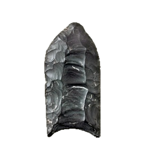 Clovis FlutedEarly Paleoindian13,050–12,750 cal B.P. (Waters et al. 2020)
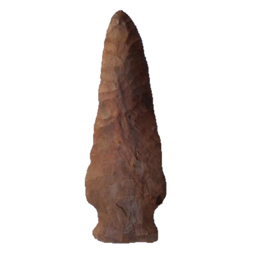 EppsLate ArchaicAbout 3,450–2,650 B.P. (1500–700 B.C.), the main span of Poverty Point culture (Gibson 1983)
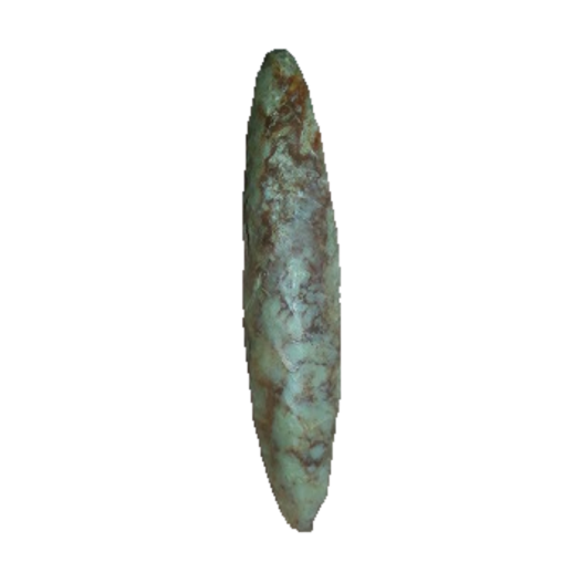 NodenaLate Mississippian550–350 B.P. (A.D. 1400–1600; Bell 1958, in Cambron and Hulse 1975)
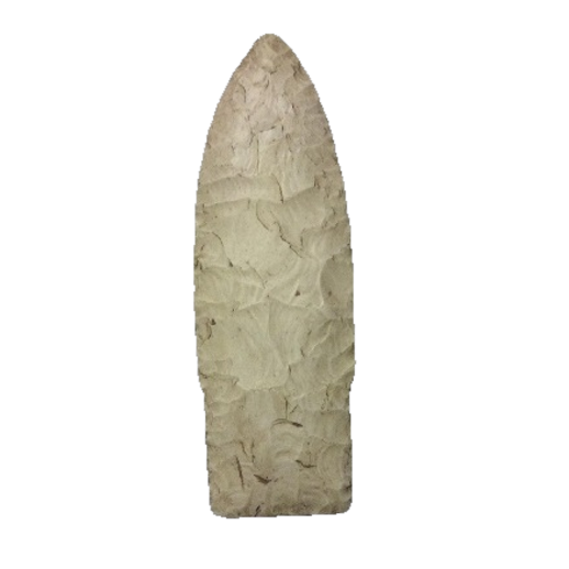 ScottsbluffLate Paleoindian9,900–8,000 B.P. (Cody complex; Knell and Muniz 2013)